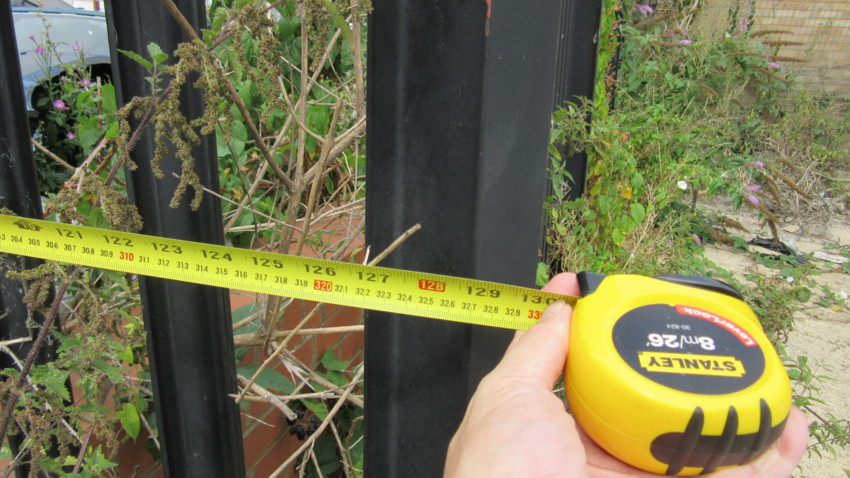
Boundary disputes can be a source of significant stress and conflict among property owners. When disagreements arise over the precise location of property lines, boundary disputes surveying becomes essential for resolving these issues. This article delves into the intricacies of boundary disputes surveying, its importance, and the methodologies employed to ensure accurate and fair resolutions.
Understanding Boundary Disputes
Boundary disputes occur when two or more property owners disagree on the exact location of their property lines. These disputes can arise from various factors, including unclear or outdated property records, changes in land use, or even natural shifts in the landscape. Resolving such disputes requires precise measurement and clear documentation, which is where boundary disputes surveying plays a crucial role.
The Role of Boundary Disputes Surveying
Boundary disputes surveying involves a detailed and methodical process to determine the exact boundaries of a property. This process is critical for several reasons:
- Legal Clarity: Accurate surveying provides a definitive answer to where property lines are located, which is crucial for legal documentation and property transactions. It helps in establishing a clear record that can be referred to in legal disputes.
- Conflict Resolution: By providing an objective measurement of property lines, boundary disputes surveying can help resolve conflicts between neighboring property owners, reducing the potential for prolonged disputes.
- Preventative Measures: Effective boundary surveying can prevent future disputes by ensuring that property boundaries are clearly defined and documented from the outset.
Methodologies in Boundary Disputes Surveying
Boundary disputes surveying employs various methodologies to ensure accurate results. The choice of method often depends on the complexity of the dispute and the specific requirements of the property in question.
- Historical Research: Before conducting physical surveys, surveyors often start with a thorough review of historical records. This includes examining property deeds, historical maps, and previous surveys to understand the original boundary definitions and any changes over time.
- Field Surveying: This step involves physically measuring the property boundaries using advanced equipment such as total stations, GPS systems, and laser scanners. Surveyors take precise measurements to determine the exact location of property lines.
- Geodetic Surveying: For properties with complex boundary issues or those involving large areas, geodetic surveying may be employed. This method uses mathematical models and satellite technology to achieve high levels of accuracy in determining property boundaries.
- Boundary Line Adjustment: In cases where physical evidence of boundaries is lacking or disputed, surveyors may use legal and historical evidence to adjust boundary lines. This can involve negotiating with neighboring property owners and presenting findings in a legal context.
Legal and Regulatory Considerations
Boundary disputes surveying must adhere to legal and regulatory standards to be effective and credible. Surveyors must be familiar with local property laws, zoning regulations, and any relevant legal precedents. The findings of a boundary dispute survey often need to be documented in a formal report that can be used in legal proceedings if necessary.
Choosing a Professional Surveyor
Selecting a qualified and experienced surveyor is crucial for the success of boundary disputes surveying. Property owners should consider the following factors when choosing a surveyor:
- Credentials: Ensure the surveyor is licensed and certified in the relevant jurisdiction. Professional credentials are a marker of the surveyor’s expertise and adherence to industry standards.
- Experience: Look for a surveyor with experience in handling boundary disputes. Their familiarity with similar cases can provide valuable insights and a more efficient resolution process.
- Reputation: Check references and reviews to gauge the surveyor’s reputation and reliability. A surveyor with a strong track record is more likely to deliver accurate and unbiased results.
Conclusion
Boundary disputes surveying is an essential process for resolving conflicts related to property boundaries. By employing precise methodologies and adhering to legal standards, surveyors play a vital role in providing clarity and fairness in property disputes. For property owners facing boundary disputes, engaging a professional surveyor is a crucial step towards achieving a satisfactory resolution and ensuring that property boundaries are accurately defined and documented.


